Between reuse and innovation: understanding microregional settlement strategies in late antiquity on the eastern Adriatic – Re:Set (IP- 2024-05-6792)
Project Re:Set is financed by the Croatian Science foundation and is implemented at the Institute of Archaeology.
The project sets out to investigate the innovations deployed on the eastern Adriatic as adaptive strategies to mitigate wider political, economic, fiscal, and environmental shifts occuring in the Late Antique period. The effects of these processes are evident in the landscape through several developments, including alterations in existing urban and rural settlements, the emergence of new – often fortified – sites, and the reorganization of territorial structures, all of which are still poorly recognised and understood at the regional level.
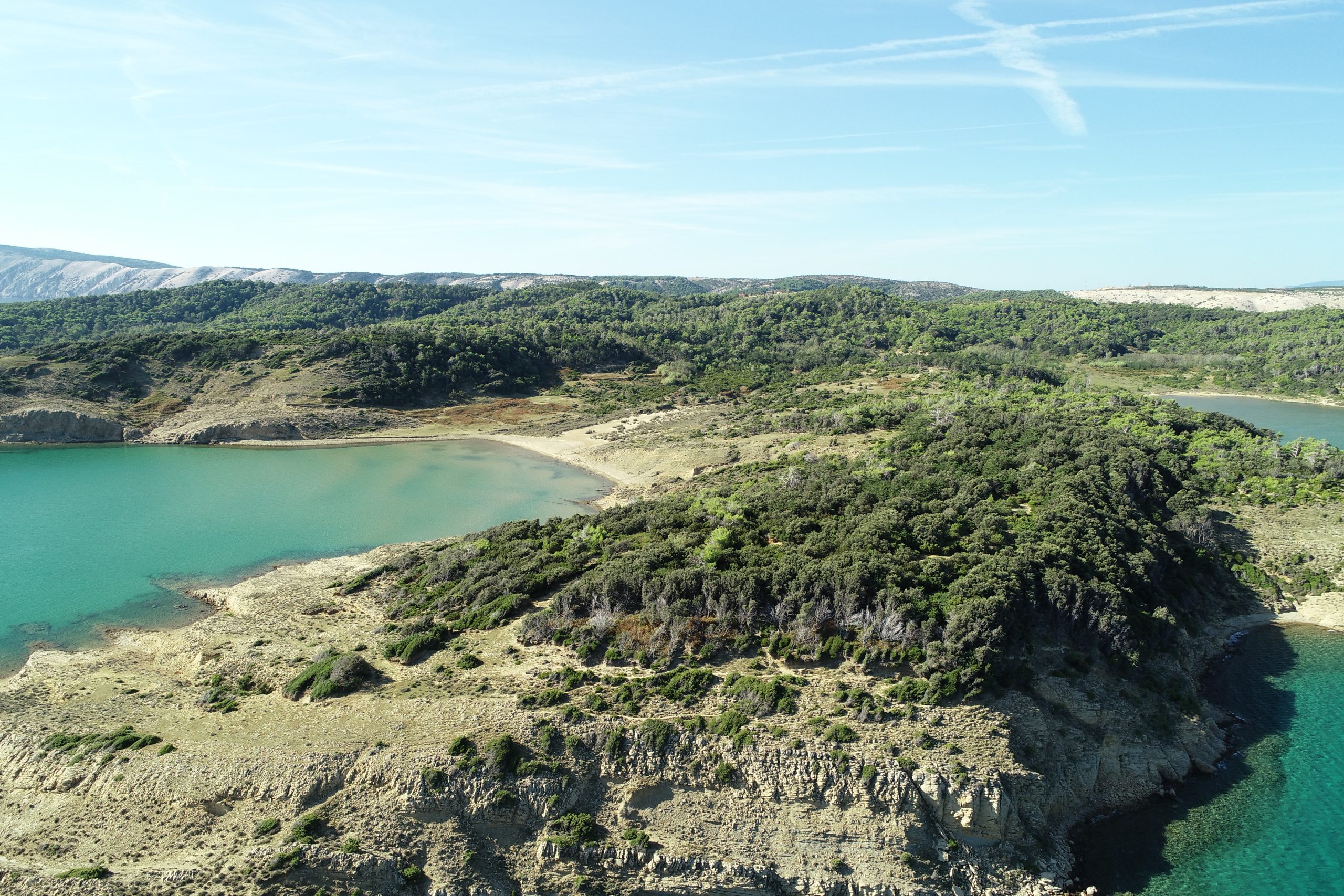
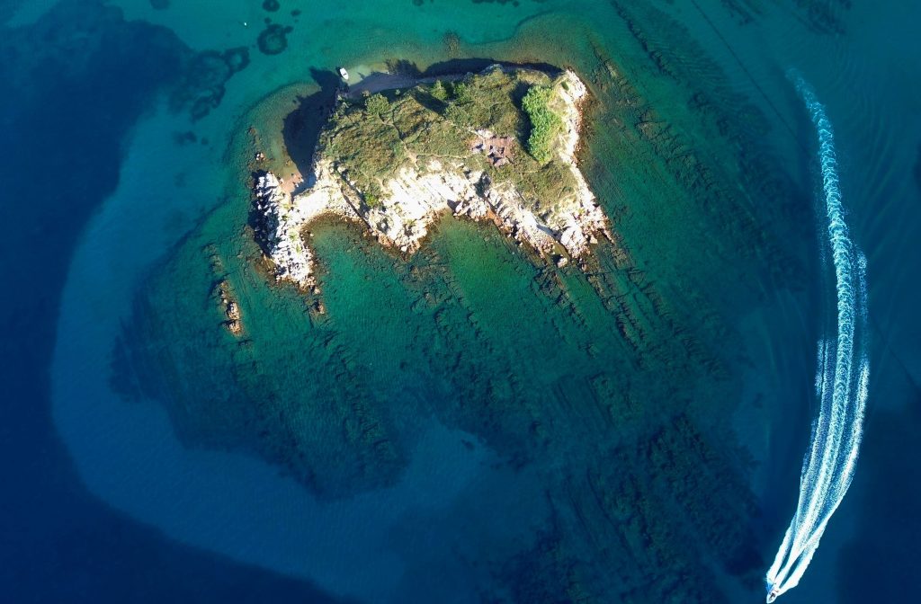
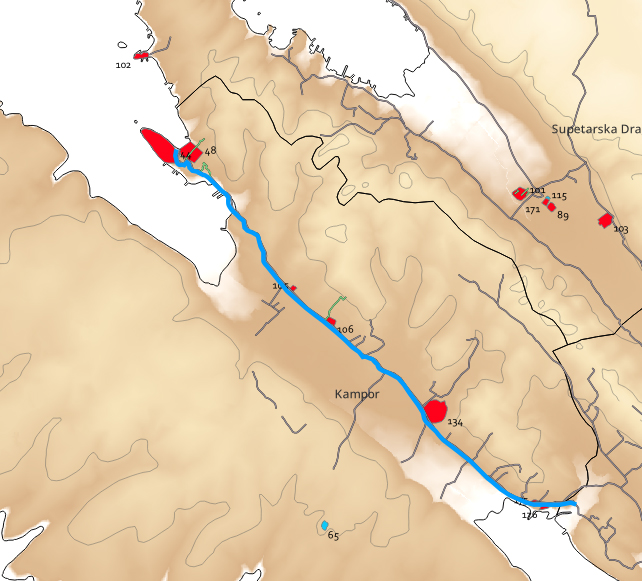
Building upon recent developments and identifying the shortcomings of available data, the main goal of the here proposed research will be understanding the changes in the organization of the landscape and settlement patterns in late antiquity (4th/5th – 7th c.) on the eastern Adriatic. Two case study areas will be tackled, comprising the Island of Rab (NE Adriatic) and the wider area of Roman Danilo – municipium Riditarum, located in a peri-coastal karst valley in central Dalmatia (Šibenik municipality). This will be achieved by applying an innovative, micro-regional and holistic approach and employing interdisciplinary methodologies for data collection and analyses.
The proposed research will approach the transformations in settlement by tackling areas where two site-types can be studied in parallel. Firstly, the project will set out to study late antique fortifications as the new form of settling identified in the region and therefore a major marker of social and consequently cultural change, but also the least studied site-type from the standpoint of precise chronologies and material culture. It will focus on collecting a diverse dataset useful to provide more secure chronologies and suggest functional differentiation of sites and structures. Secondly, it will focus on understanding the relationship with sites located in their proximity, that is rural and urban settlements with late antique phases of (re)use. The choice of the selected case studies is based on several criteria, that is: the geographical diversity of the two areas (an island and a peri-coastal valley); existence of a chronological and spatial relationship between a fortified site and a rural or urban settlement; the availability of recent excavation or legacy data; the feasibility of the proposed research methodologies.
Project objectives
Understanding societal responses of eastern Adriatic communities to the manyfold challenges posed by global and more regional processes within the period under scrutiny needs to be reassessed through the collection and analyses of new and diverse datasets.
Detailed stratigraphic sequences, diverse and well dated data collected at a micro-regional level are necessary to fill the gaps in current knowledge on the relationship between urban, rural and fortified sites of late antique Dalmatia.
We plan to achieve this by fullfilling the follow objectives:
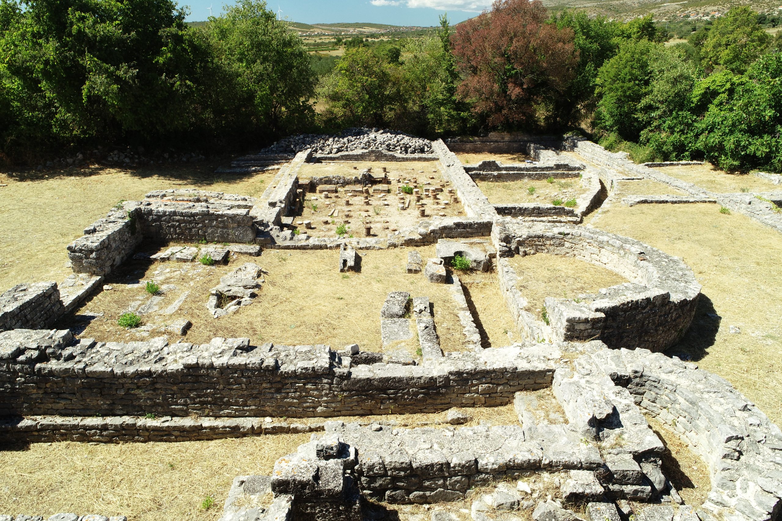
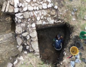
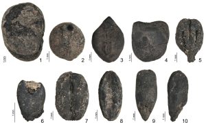
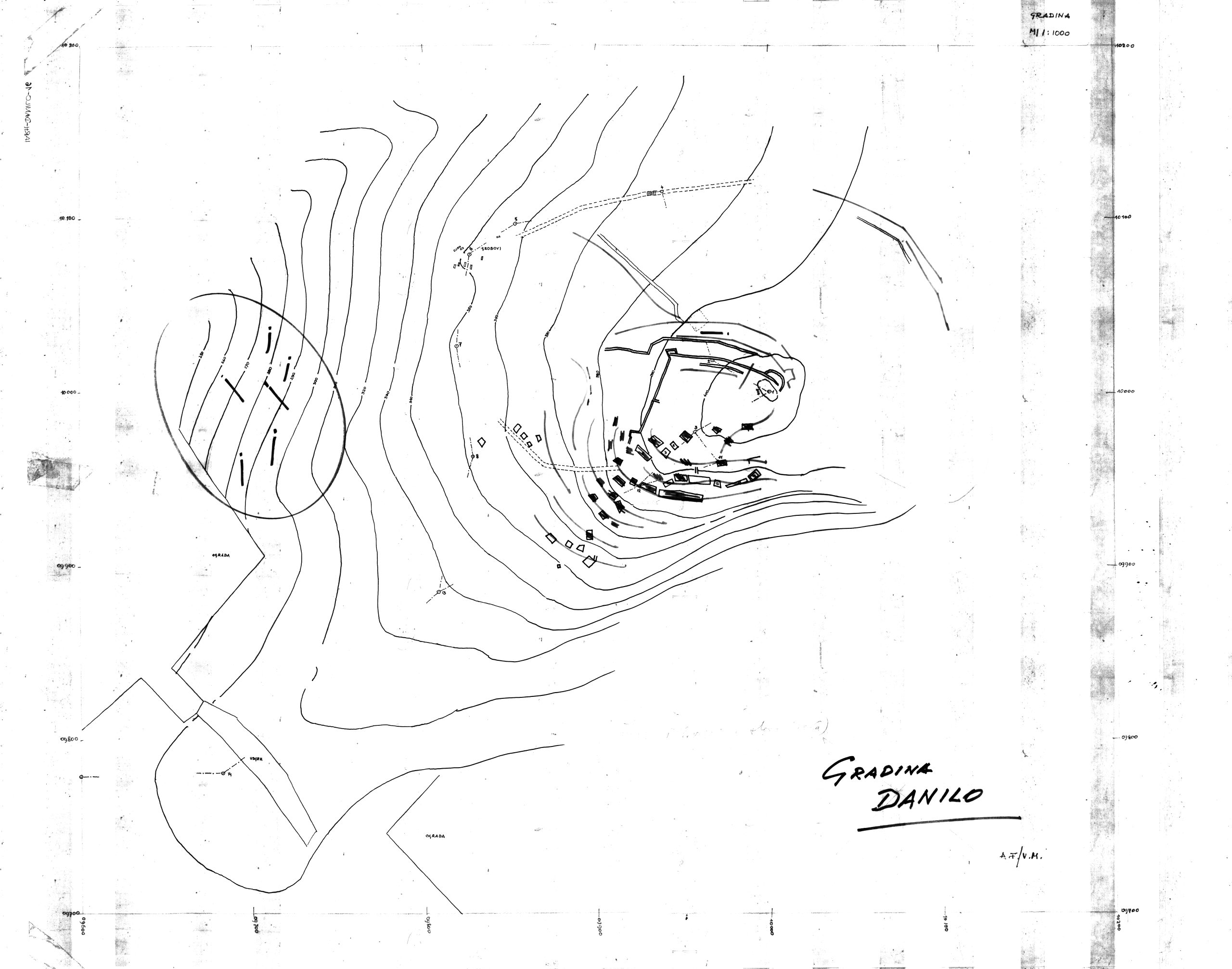
Through field and laboratory work, and subsequent data analyses, a more precise chronology of the built structures of the fortified sites (Lukovac and St Cosmas and Damian on Rab island, and Danilo Gradina) will be defined. This will generate detailed site plans, a register of building techniques and provide relative chronology of the building phases at each site. The main result will be the generation of a model of recognised and absolutely dated building phases at each site.
Through stratigraphic excavations, finds’ analyses and absolute dating, a chronology of the phases of use of Lukovac fort will be proposed and compared with data obtained through goal 1, detecting the actual duration of settlement. Also, the destination of use of its various segments and of the site as a whole will be proposed.
Using legacy, remote and survey data handled in GIS, new excavations, datings and finds’ analyses the timeframe of abandonment of rural sites on Rab island and (sub)urban structures at Rider will be assessed, as well as the ways and chronology of their reuse.
By combining and contextually interpreting all the results generated through objectives 1-3 a settlement pattern model within the two case study areas will be proposed, describing its evolution within the targeted timeframe and in the long dureé.
Timeframe of the grant
Fieldwork
Lab work
Legay data
Spatial analyses